THE COMPLETE PHOTOMOD PROFESSIONAL COURSE
photogrammetry
What you’ll learn
-
Full photogrammetric operations automation with comprehensive quality control at all stages of data processing
-
TREATMENTS OF SATELLITE IMAGES BY PHOTOMOD
-
Full line of data output: DTMs, 3D vectors, orthoimages, digital maps
Requirements
-
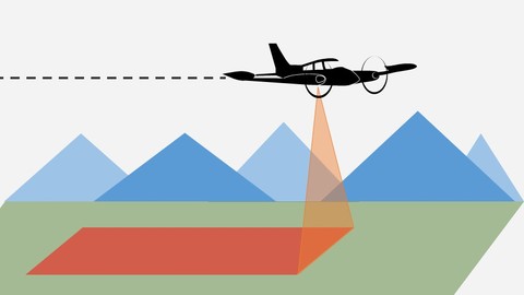
THE NOTIONS OF PHOTOGRAMMETRY
-
General principles and main stages of the photogrammetric production line
-
topographic mapping, cadastral mapping, architecture and construction
Who this course is for:
- TOPOGRAPHERS
- ENGINEERING GEODESIE
- PHOTOGRAMMETRY


