Start with Google Earth Engine & Spatial Analysis #Beginners
Get introduced to Remote Sensing and big geodata and spatial analysis in Google Earth Engine, learn basics of JavaScript
What you’ll learn
-
Students will gain access to and a thorough knowledge of the Google Earth Engine platform
-
Get introduced to JavaScript skills on Google Earth Engine platform
-
Learn how to calculate spectral indices and work with Big data on cloud
-
Learn image classification (land cover mapping) basics in Earth Engine Explorer
-
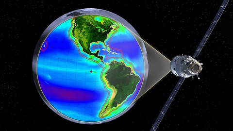
Get introduction to Remote Sensing and satellite images
-
Understand how to work with satellite images on the desktop computer and on the cloud
Requirements
-
A working computer with internet connection
-
SOme knowledge of Remote Sensing / GIS would be an advantage
Who this course is for:
- Geographers, Programmers, geologists, biologists, social scientists, or every other expert who deals with GIS maps in their field


 2024")
 Binary Code Breakers")
2 Certified in Cybersecurity (CC) Practice Exams: Set 1")
