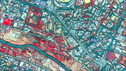
Object-based image analysis & classification in QGIS/ArcGIS
Learn image segmentation, object-based image analysis (OBIA) & object-based image classification in QGIS & ArcGIS
What you’ll learn
-
Learn image segmentation, object-based image analysis (OBIA) & object-based image classification in QGIS & ArcGIS
-
Advance your skills in QGIS and ArcGIS
-
Understand the concept of segmentation and object-based image analysis
-
Learn theory and practise behind land use & land cover mapping
-
Learn how to work with the variety of remote sensing data streams (UAV data. satellite images)
-
Apply segmentation and object-based image classification in QGIS (OTB) and ArcGIS
-
You’ll have a copy of the labs, step-by-step manuals and scripts used in the course for QGIS and ArcGIS & more
-
Conduct your independent OBIA projects in QGIS & ArcGIS
Requirements
-
Basic knowledge of manipulating spatial (image) data will be an advantage
-
A working computer with internet connection
-
The course will be demonstrated using a Windows PC. Mac and Linux users will have to adapt the instructions to their operating systems.
Who this course is for:
- Geographers, Programmers, geologists, biologists, social scientists, or everyone who deals with GIS maps in their field or would like to learn GIS and Remote Sensing


